
Every fishery closure this summer, on one map
What the summer order covers, river by river, and which sections come back first.
By the newsroom
22 August 2026
1 min
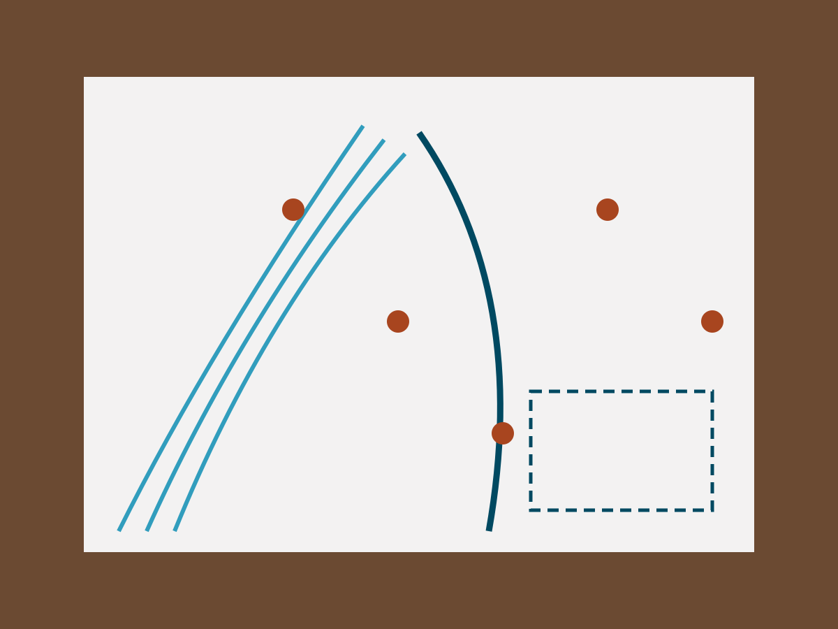
The order runs to eleven pages and covers nine systems. This is the same information, drawn.
Closures are coded by the date they lift. Three sections carry no lift date at all, which in practice means closed until the order is amended.
Corrections to the map are welcome and will be applied the same day.
Corrections and clarifications: tell us what we got wrong.